Experiment 01 / Astronomy
A little
observatory.
An interactive sky map, made from a question that started with a photograph.
Ready when you are
Start with a manual view. Location, compass, and camera access are optional and requested only when you choose those controls.
Find your way around.
The map projects over 5,000 catalog stars for a place and a time, with 82 named bright stars to explore. Search for a star, select a point of light, or use the Start here guide. Six familiar star patterns give you a way to connect the dots. Drag or hold arrow keys to look around; scroll or pinch to zoom toward your pointer, or double-click to get closer. Press H to hide the panels and explore the unobstructed sky. The star list scrolls independently of the map.
Choose a reference city or use your current location. Change the date and time, step forward or backward an hour, and return to Live whenever you like. Times use the browser’s clearly labeled time zone. Toggle names, star patterns, and the coordinate grid, or switch to a red night mode. On supported phones, optional compass and camera controls are available under Tools; the camera feed stays in your browser.
The original imagery.
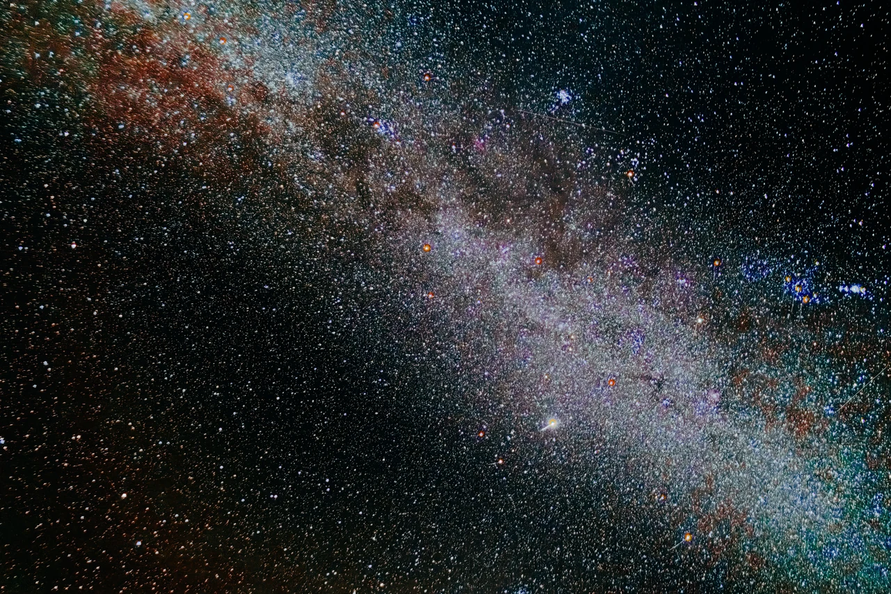
The photographic sky layer uses Axel Mellinger’s full-sky Milky Way panorama, as distributed by Stellarium. The optional reference landscape is Guenther Wuchterl’s Grossmugl panorama from Austria. Open Tools → View original source images to inspect the unmodified images, their credits, and the renderer. The reference landscape is independent of your selected observing location.
A guide, with some limits.
Without location permission, the map starts from a clearly marked New York reference position. Phone orientation can drift. The star field uses J2000 catalog coordinates with an approximate time-and-location projection, without precession, proper motion, or atmospheric refraction corrections. Stars remain visible in daylight, and planets are not included. This is a sky explorer, not a verified identification overlay on the photograph above.
The interesting part for me is the connection: a photograph, a catalog of measurements, a little geometry, and something you can move around with your hands.